Nusa Dua sits on the eastern corner of the Bukit peninsula, the same landmass as Uluwatu and Bingin but the opposite coast. It faces east, so it takes the swell that wraps around the peninsula rather than the Indian Ocean groundswell that hits the west side head on. The name means two islands, after the two raised headlands that sit off the beachfront.
The area was drawn before it was built. In the early 1970s the Indonesian government, working with the World Bank, chose this stretch of dry, low-yield coast to concentrate large international hotels in one zone and keep them out of the rest of the island. Roads, power and water went in first, hotels followed, and the core has been run as a gated estate ever since. That history is why Nusa Dua looks the way it does: wide landscaped roads, security posts at the entrances, buildings set back behind gardens.
A coral reef runs parallel to the shore a few hundred metres out, and it does the work that cliffs do elsewhere on the Bukit. The waves break out on the reef, the water inside stays flat, and you can swim off a flat beach without reading a tide chart first. On the west coast you climb down to the sand. Here you walk onto it.
Private houses and apartments sit on the edges, in Sawangan to the south and around Bualu and Tanjung Benoa to the north.
Around Nusa Dua
Surf & beaches
The central stretch, sometimes signed as Pantai Mengiat. White sand, a flat entry, and a reef sitting far enough offshore that the water inside behaves like a lagoon. It's the most reliably swimmable beach on the Bukit peninsula, and the one that doesn't require checking a tide chart before you commit.
A long coral reef running parallel to the coast, a few hundred metres out. It produces shifting right-handers that can run a long way when the wet-season swell wraps into the strait, and it needs either a serious paddle or a boat from the sand. Experienced surfers only, and best November to March when the west coast is onshore.
South of the main resort stretch, below the limestone headland that carries Pura Geger. Calm, shallow water and a wide crescent of white sand, historically worked for seaweed as well as fishing. On clear mornings you can see Mount Agung across the water.
The southern end of the coast, past Geger, where the reef protection thins and more wave reaches the sand. Quieter than the central beaches and backed by the higher ground where most of the area's private houses sit.
Eat & drink
The traditional village at the landward edge of the resort gates, reached by following Jalan Pantai Mengiat inland to Jalan Srikandi. It's where the area's everyday eating happens, a short run of local warungs side by side, and where most people who work in Nusa Dua actually live.
See & do
A cleft in the limestone at the tip of Peninsula Island, the southern of the two headlands the area is named after. Swell funnels into the gap and fires straight up the rock face, which is worth timing for a rising tide and a decent swell. The walk out gives you a wide open view along the coast.
A sea temple on the limestone cliff above Geger Beach, with the open ocean breaking at its base. One of the oldest fixed points on this coast, and the landmark the beach below takes its name from.
An 18-hole course occupying a large piece of the ground behind the resort beachfront, running from creek and canyon terrain in its first half into mature grove on the back nine. It's the reason a wide band of this coast stays green and low-density.
Properties in Nusa Dua
 1/19
1/192-Bedroom Villa in Nusa Dua
2 Bed · 3 Bath · 200 m² · Leasehold
IDR 4,500,000,000
IDR 22,500,000 / m² land26 yr leasePink zone
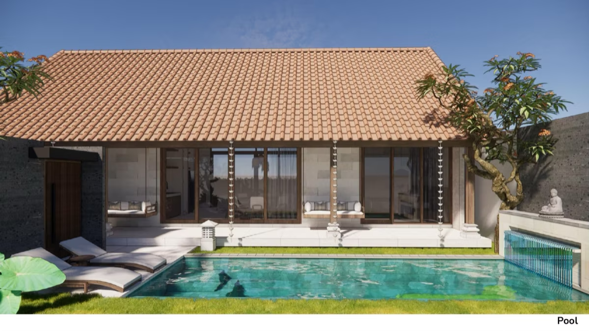 1/11
1/112-Bedroom Villa in Nusa Dua
2 Bed · 2 Bath · 100 m² · Leasehold
IDR 3,600,000,000
IDR 36,000,000 / m² land25 yr leasePink zone
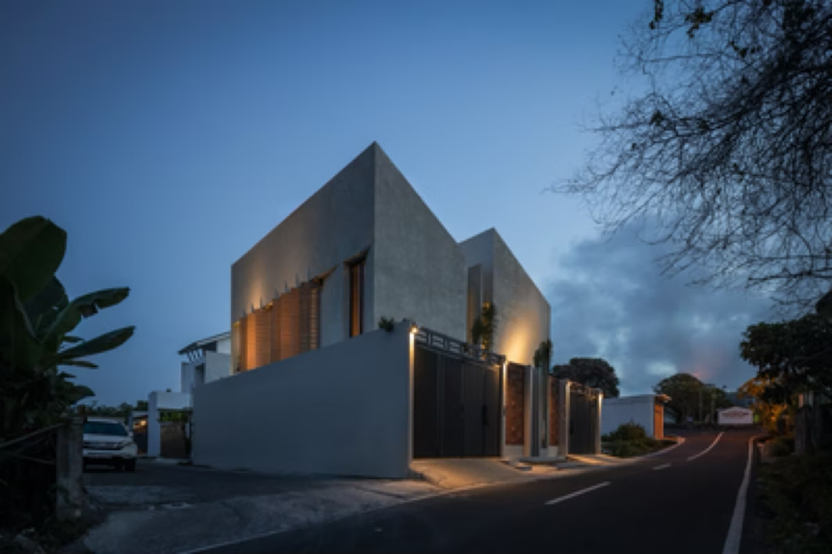 1/11
1/112-Bedroom Villa in Nusa Dua
2 Bed · 2.5 Bath · 108 m² · Freehold
IDR 3,400,000,000
IDR 31,500,000 / m² landFreeholdYellow zone
Why buyers look at Nusa Dua
The case for Nusa Dua is the coast and the logistics. Flat swimmable water, a paved beachfront, a short toll-road run to the airport and a street grid built to take cars pull a completely different guest from the surf coast: families, older travellers, people who fly in for a few days and don't want to ride a scooter.
That matters when you're weighing numbers: any rental figure we quote comes from villas we actually manage, and we'd rather tell you that than hand you a projection for a coast we don't operate on.
Who Nusa Dua suits
The reef sits far enough out that the beach in front of the resort strip stays shallow and flat through most of the day. Kids can be in the water without anyone reading a swell forecast first, and the beachfront promenade means a walk with a pram is a real option. On the west coast of the Bukit, every swim is a negotiation with the tide.
The toll road puts the airport 25 to 35 minutes away on a route that behaves itself, the internal roads are wide and lit, and nothing here requires riding a bike down a cliff lane. That suits short stays, late landings, older guests and anyone who'd rather not learn Bali traffic on day one.
From roughly November to March, when westerlies turn Uluwatu and Bingin onshore, this coast is the one working. The reef breaks are offshore and need a boat or a long paddle, and they reward people who'd rather chase the season across the peninsula than sit out three months of blown-out swell.